08.09.2013
The Route: Porto Velho – Humaita (244 km)
"Where to ?"
"Manaus"
"It can be reached by ferry from the port of Porto Velho"
"No, we will go along the BR-319 highway,"
"Do you want to go along this road to Manaus ? By That Road! ? ?"
And so on, and so on, this was the main reaction, when talking about the onward journey : Porto Velho - Humaita - Manaus.
Just that road - the part of 640 km - from Humaita - Manaus. Because to Manaus it usually reached either by ferry or by plane, but along the road? In fact, one can also get there by land - as at the beginning of the 1970s a roadway, BR–319, was built by the army through dense rainforest, but the road was officially declared impassable already in 1988.

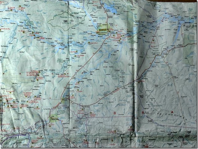
For clarity, the map, the BR -319 is the thicker red line between Manaus and Humaita.
And during the time spent in Porto Velho, we could not find anyone who would have passed that road.
Most knew someone who had ever traveled there, and that the road was almost impassable, and washed away, and the bridges were broken, and that there were not hundreds of kilometers anyone other than anacondas and other jungle beasts. And so on. And a lot of other horror stories.
But during the past week it turned out that the closer to Humaita, the less of those who considered the driving along that road an absolutely crazy idea. Actually I had planned to cover the Road of BR -319 long ago. Through the rain forest.
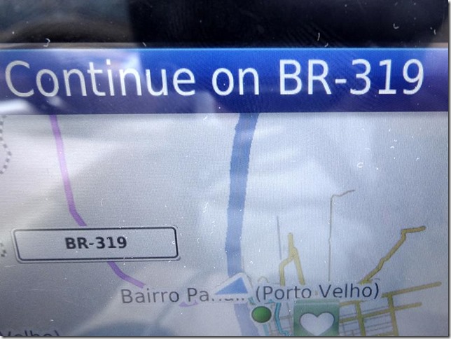
Because the road was supposed to be passable with small and light vehicles. This information I heard earlier in Africa talking to several overlanders, who had travelled around in South America. The important issuse was supposed to be - to do it at the right time of the year, and in a light car (some 2-3 tons)
If there were the rainy season and the dry season here, it would be easy –just drive in the dry season. In reality – during the rainy season- it rains almost all the time, and then there it is less rainy period, then it just rains less, but this season is hotter. And as the least rainy season was supposed to be September- October, then here I am now.
And as only light vehicles should be used and my fully equipped bus weighs (+ fuel for 1200 km, and water and other supplies) 2300 kg,then the BR -319 bridges should be able to withstand.
In 2011 some British fell with Unimog through a bridge, but by now it should be repaired. One can find from net much information, but the dry facts are - the distance from Humaita to Manaus is less than 670 kilometres, the first 100 km was supposed to be perfectly ok, and the last few hundred before Manaus as well. And the main obstacle could be a many- days-lasting-rainfall.
And the main thing is that there are no a large trucks moving around, breaking roads and leaving deep wheel traks. In the meantime, of course, there are 400 km of roads through completely uninhabited rain forest, but since the whole road is covered by telecom towers of every 30-40 km and next to the road there are poles with optical cable- so - the company is keeping the bridges for their jeeps drivable. At least so they say.
Some additional equipment for the next just not usual days. - PMR446
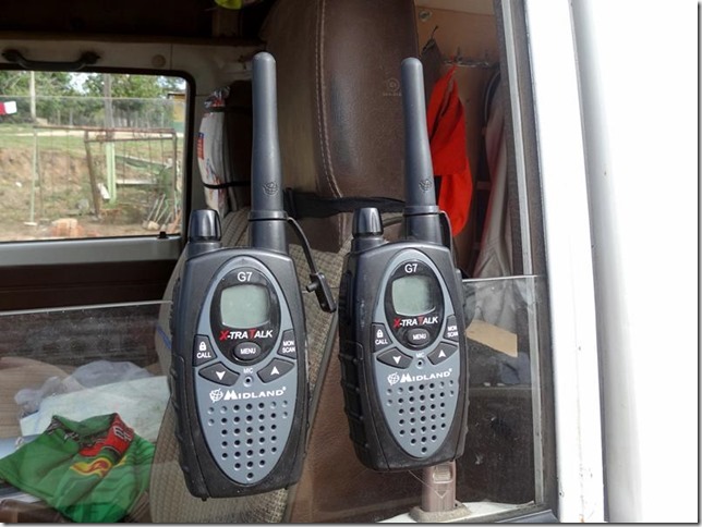
While moving on together with some other drivers it is useful to have some form of modern communication appliances, such as a handheld PMR446 (Private Mobile Radio, 446 MHz). And they work on AA batteries, which can be conveniently recharged.
In Europe they are allowed to be used and in the U.S.A. they are not allowed, but as to Brazil I could not find any information. But still more modern than just give the signal and wave hands out of the car window, hoping that the other car will notice it.
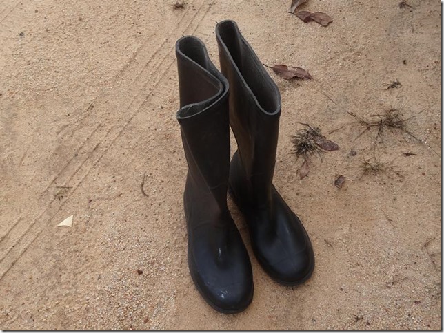
And the rubber boots had to be handy.
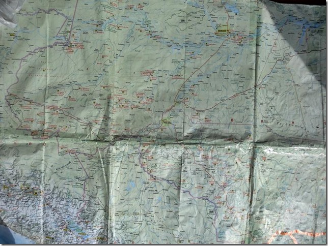
A large map of Brazil, just good to look at how huge Brazil really is
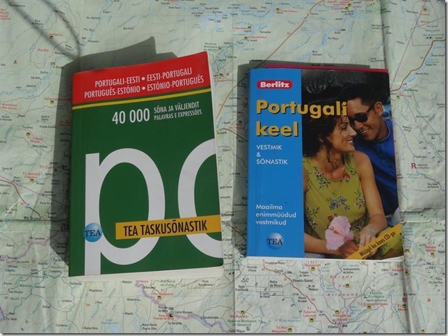
Dictionaries.
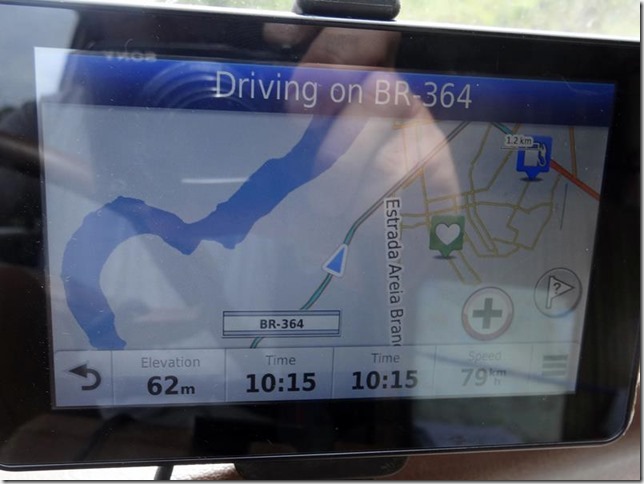
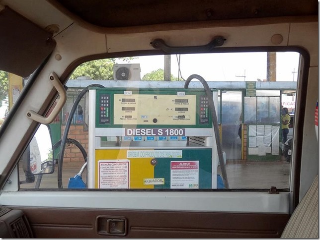
Back in Porto Velho to refuel again and supplement the supplies of drinking water.
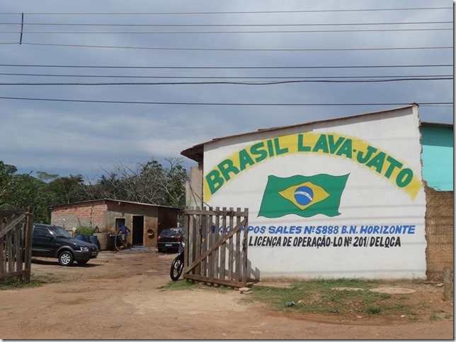
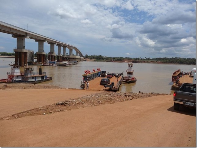
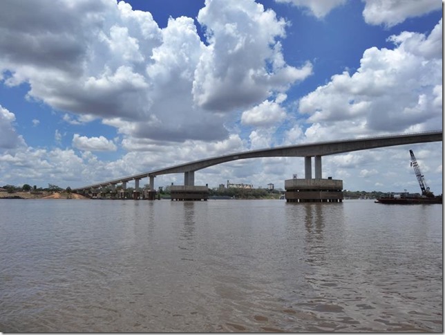
Madeira River. The barges are waiting for vehicles and next to a new bridge is almost finished.
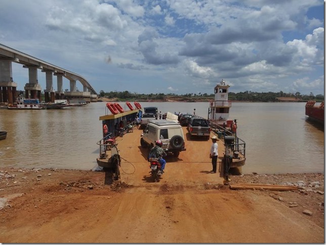
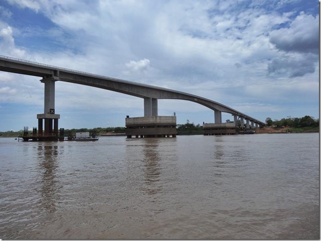
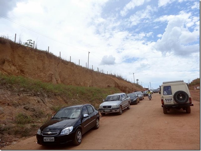
On the other side a line of cars is waiting
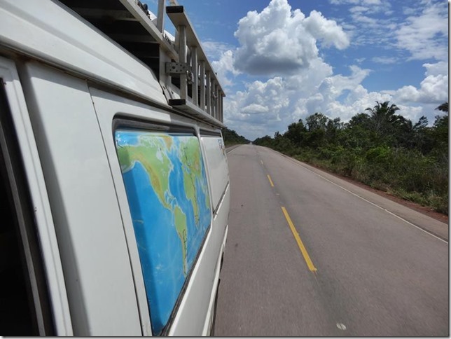
The condition of the road between Humaita and Porto Velho is perfectly ok.
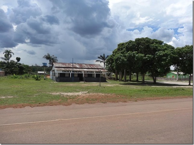
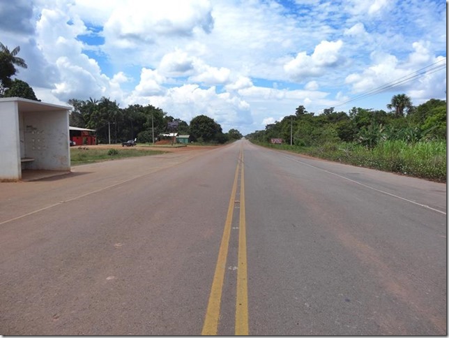
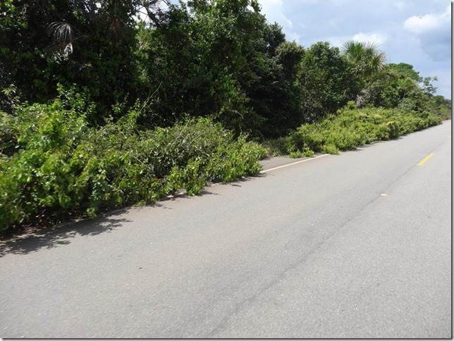
The roadsides are green, in some places the plants are climbing on the road.
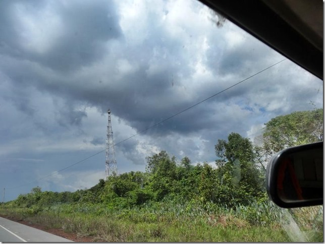
The towers belonging to the Brazil 's second-largest telecommunications company Embratel are next to the road.
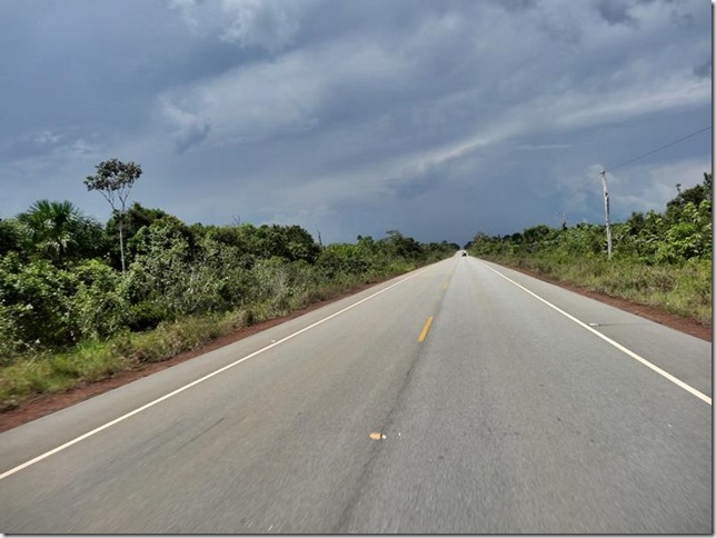
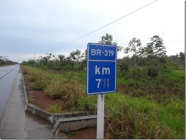
It is only 711 kilometres to Manaus from here. Humaita is a small town of 45 thousand inhabitants of the Amazon region.
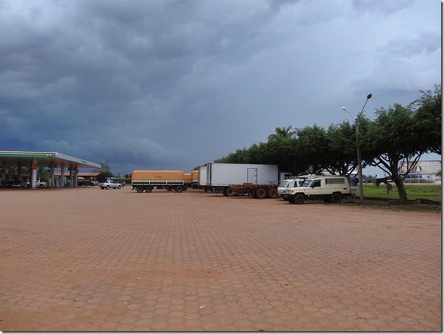
The Humaita gas - station will be the overnight place.
There is plenty of space and traffic noise as well. But many other issuses are completely in level. St. behind the station- hands can be washed in the sink and two shower rooms are also available.
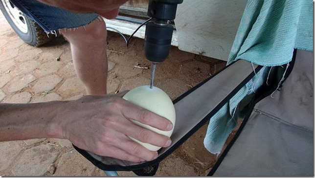
For dinner this time we have an ostrich egg presented to as by Brazilians.
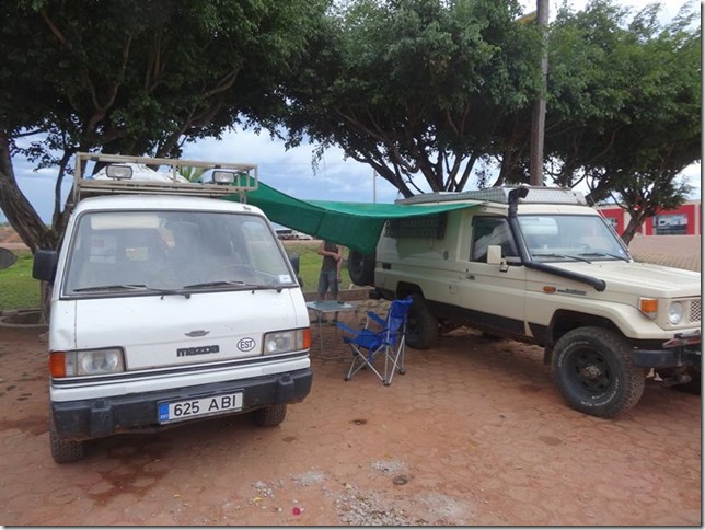
Then again it starts raining. But with the help of an improvised roof we can carry on our everyday activities. This load cover, bought in Paraguay, stops the rain and protects from the hot sun as well.
It is still +35 degrees outside. And inside the car as well..
The next morning the journey through the rainforest will begin.
Some additional reading on the BR-319
http://news.bbc.co.uk/2/hi/americas/8314407.stm
http://www.oecoamazonia.com/en/news/brazil/105-br-319-rumo-a-realidade
Continued .


No comments:
Post a Comment